Power Every Property Move With Your Trusted Property Companion

Your one-stop solution
A powerful worldwide online tool allowing users instant access to over 15 million properties with up-to-date property, planning, places of interest and sales information.
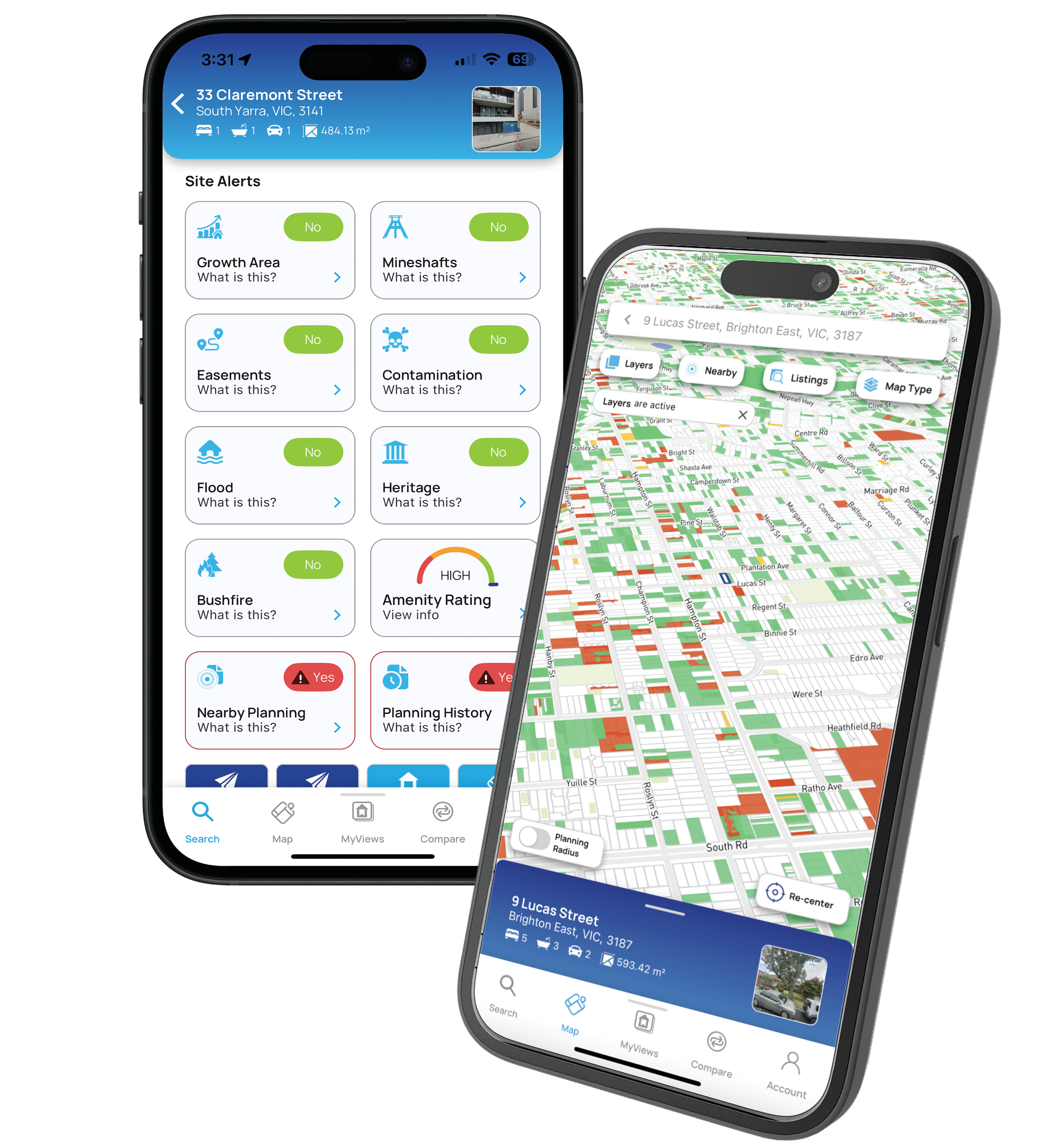
The platform allows you to access features that thousands of users are already benefitting from. Create markers with in depth customisation, look up nearby places and utilities, see advanced layers with high resolution satellite imagery.

Accuracy

Helpful Site Alerts

Heritage Overlay Information
Your one-stop solution for all property information.

Premium features, perfect for a wide range of industries.
Free Property Report
Comprehensive informationincluding title information, land size, planning controls and property photos.

Premium Property Information
Get planning permit data at a glance. With a wide range of advanced filters to help find the most relevant information.

Titles & Documents
Examine competitively priced Title, Plan, Instrument and Company Searches with just a few quick taps.

High Resolution Aerial Imagery
View quality, up-to-date imagery of properties from the comfort of your desk, including its extensive changes over time.

Site Analysis
Utilise MapView’s state of the art analysis tools that are powered with advanced search filters to discover possible property prospects.

Planning Permits
Look through various planning permits and statuses, including those that are pending, approved or rejected.
Our Partners


As head of an active expanding national structural engineering consultancy practice I’m presenting daily, Mapview has enabled my team to record all our past and present projects in one place, we have been able to add photos, project profiles and other information, we can filter project types, our whole portfolio of work is now graphically presentable”
Paul Webber
Director, Baracon


