


Mapview shows exactly how your property looks when seen physically visiting it in person in real-time. So, you get to see what exists now on your property and how far it extends. The area it covers as well as the other structures nearby.
Free Property Report
Comprehensive information including title information, land size, planning controls and property photos.
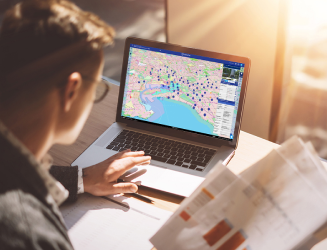
Premium Property Information
Get planning permit data at a glance. With a wide range of advanced filters to help find the most relevant information.