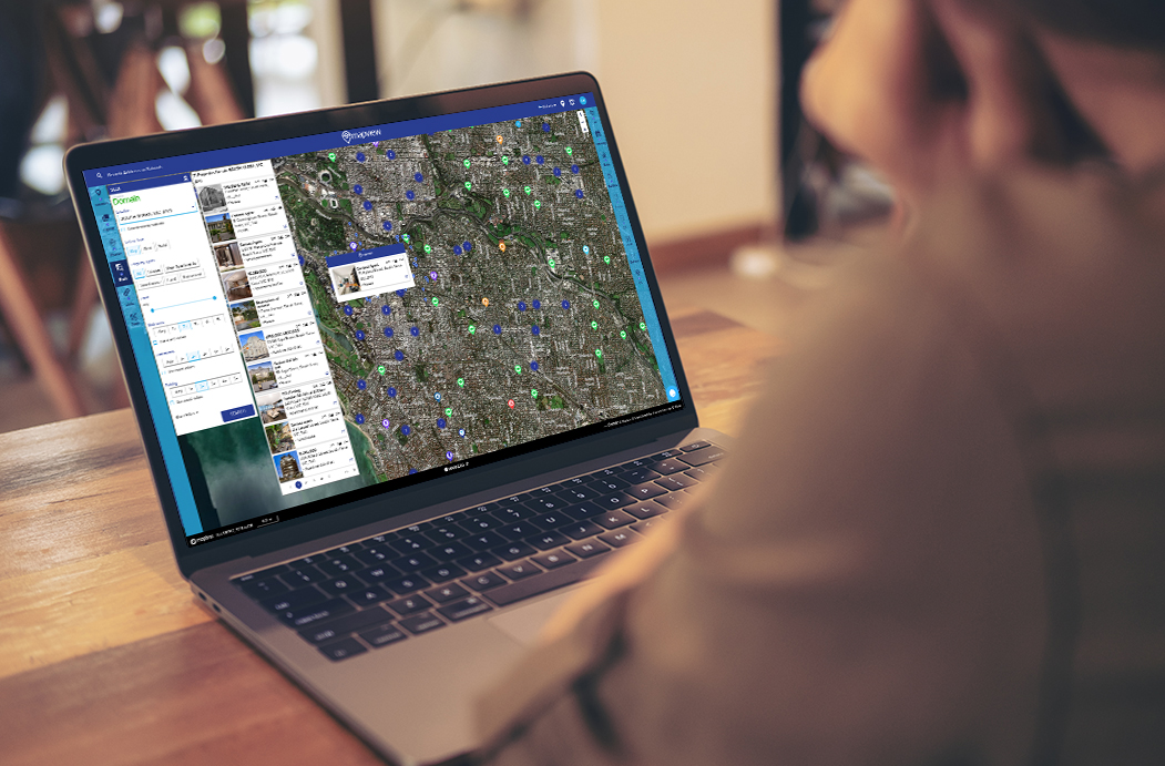
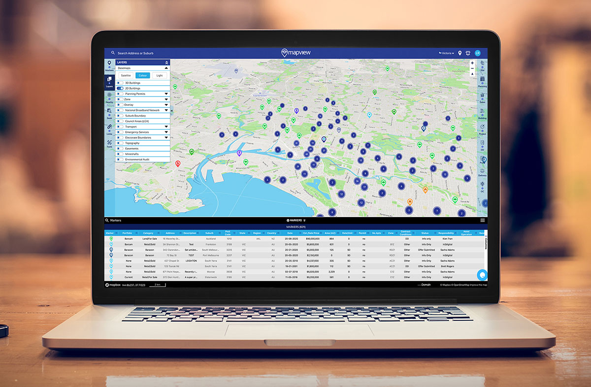
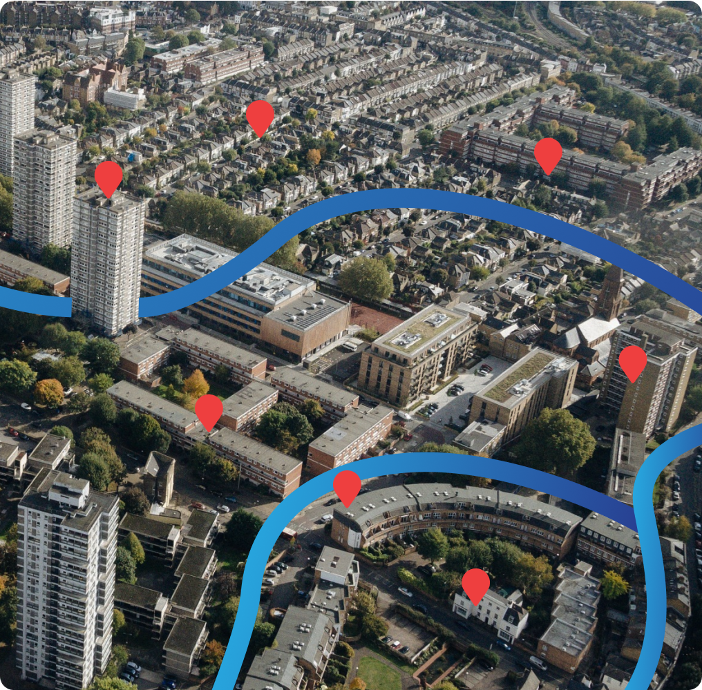
Effortlessly access data, regulations, research and use due diligence tools for any property on the east coast of Australia and New Zealand, with more regions coming.

Your one-stop solution
Mapview is an industry-leading, innovative and interactive mapping platform that securely records past, present and future projects on your own worldwide map.
We strive to develop practical and intuitive user-friendly applications that are immersed seamlessly into Geographical Information Systems(GIS) data. Enhance your analysis and research with up-to-date tabulated cloud-based data and files all stored in one place for easy access.
Helpful Site Alerts
Detailed Planning Permit Information
Heritage Overlay Information
Accuracy Of Data
Cloud Data Storage Protection
500 Geographic Layers
15 Million Properties
510.1 Million km² Coverage

Convenience at the touch of your fingertips

Cloud data storage protection.
Worry less, as your project data will always be securely stored and archived accordingly on your account and map for viewing with a secure login.

Mapview is for anyone and everyone.
It is a remarkable time-saving platform for individuals and businesses. Including property developers, financiers, construction consultants, builders, planning consultants and town planners, government department and authorities. For more information find out Who Benefits from Mapview.
Frequently Asked Questions
How do I create a Mapview account?
Signing up for Mapview is quick and easy. Visit our website home page, click on the “Free Sign Up” button, and follow the guided registration process. Once registered, you’ll gain instant access to the powerful features and tools Mapview offers. Start your property journey with Mapview today!
How can Mapview help you?
Mapview is your gateway to over 15 million properties, offering essential tools for property research. Tailored for anyone in the property world, it provides accurate data, customisable features, and advanced mapping, ensuring a comprehensive and user-friendly experience. Whether you’re making informed investment decisions or finding your dream home, Mapview is your invaluable resource.
How to use Mapview for a property search
Simply type a property’s address in the search bar or utilise the interactive map to locate an area of interest for properties across Australia and New Zealand. Users can access data specific to individual properties and their surrounding areas with the click of a button.
How accurate are the maps?
Mapview provides accurate maps. The platform sources data from reliable sources, including government partnerships and exclusive data providers, ensuring that the maps reflect the latest and most precise geographical information available.
How does Mapview handle data and privacy for users?
At Mapview, we prioritize the security and privacy of our users. We employ robust data encryption protocols, follow industry best practices, and adhere to strict privacy policies. Your information is treated with the utmost confidentiality, ensuring a secure and trusted experience while using our platform.

Our Partners


As head of an active expanding national structural engineering consultancy practice I’m presenting daily, Mapview has enabled my team to record all our past and present projects in one place, we have been able to add photos, project profiles and other information, we can filter project types, our whole portfolio of work is now graphically presentable”
Paul Webber
Managing Director, Baracon