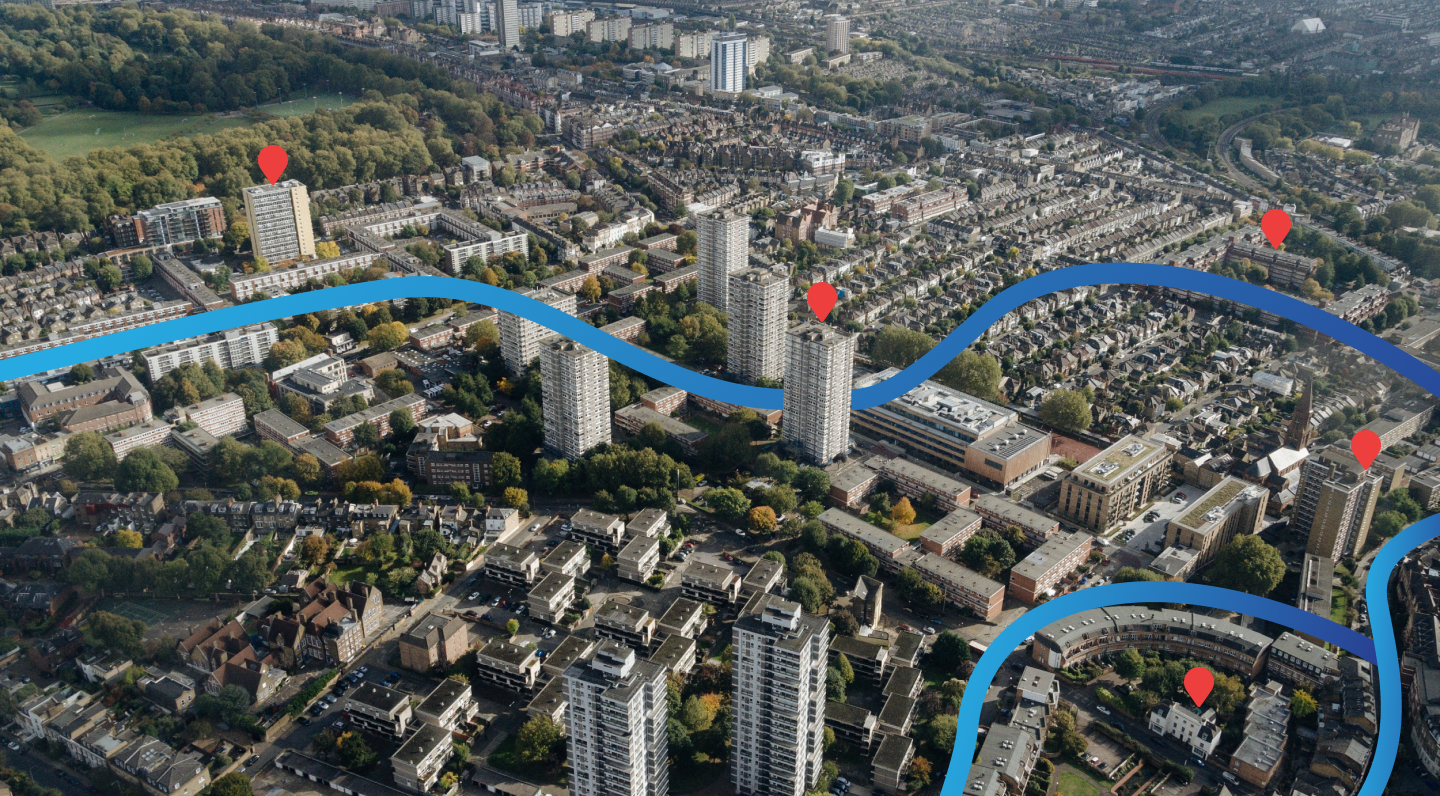
See Every Property From Above
Mapview provides access to high-resolution aerial imagery for properties across Australia and beyond. Combined with historical imagery spanning years or decades, you can track site development, identify changes, and make more informed decisions — all from your desk.
What’s Available
Current Aerial Photography
- High-resolution imagery updated regularly
- Available for all of Australia and New Zealand
- Zoom levels from suburb overview to individual property detail
Historical Imagery
Track how a site has changed over time with our historical imagery archive:
- Compare before-and-after development
- Identify vegetation changes or environmental impacts
- Verify historical land use claims
- Available for most properties going back multiple years
Worldwide Imagery
For international projects and research, Mapview includes worldwide satellite imagery for 100+ countries. Ideal for:
- International investment research
- Cross-border site comparisons
- Global portfolio management
How to Use Aerial Imagery
- Search any property by address, lot, or plan number
- Switch to aerial view from the map controls
- Use the timeline slider to browse historical imagery
- Compare side by side — past vs present in split view
- Screenshot or export directly from the viewer
Ideal For
- Due diligence — Verify site conditions before purchasing
- Development assessment — Understand neighbourhood context
- Environmental review — Track vegetation or land-use changes
- Site analysis — Assess access, orientation, and surroundings without visiting